GEOSPATIAL MAPPING & DATA PROCESSING
Putting It Together:
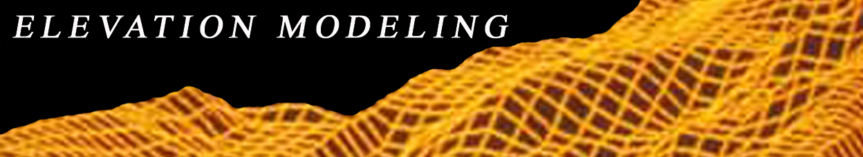
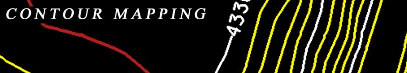
Accurate Photogrammetric, LIDAR and Field Data Acquisition offers a solid foundation for various geographic mapping applications from raster-based orthophotography and elevation modeling to providing a baseline for vector-based topographic information including contour and planimetric mapping.
Quality In Perspective:
Quality management relates to many aspects of geographic information. It can reference visual, spatial, representational, and even how current the information is as a temporal variable. At its core, geographic information is just a simplified representation of actual geography, and it is how effectively this representation supports the goals of a project that ultimately defines quality.
With this in mind, ensuring that project characteristics support your analysis methods and applications is critical to a quality project. How mapping production and formatting is coordinated can have a significant impact on how geographic information is ultimately interpreted, so special attention is directed towards specifications as well as intentions for the content.
Quality is also reflected in how effectively a project supports your long-term goals. Particularly in context of Geographic Information Systems (GIS), the most successful projects are often those that integrate broad applications and foster future development. Strategic thinking on how a project may relate to other potential needs or function as a quality control for existing data sets offers a great opportunity to save time, money, and ultimately build stronger systems.
We make a point at Access Geographic to have our clients feel comfortable asking questions and work hard to support their goals - open communication of thoughts and ideas can go a long way towards improving the outcome and application of a project.
Specifications:
Specifications define the character and scope of a project. Once specifications are established to meet project goals, Access Geographic utilizes proven geospatial methodologies and best practices to derive the strongest possible results. We only use certified and state licensed surveyors to further ensure quality results. Moreover, several independent tiers of quality control are enforced, ensuring that each project meets or exceeds project specifications.
How Can We Help?:
Incorporating quality field data, aerial and LiDAR imaging into an accurate and reliable mapping database can offer various mapping deliverables and applications. If you have additional questions or need information on our mapping services or processes, please feel free to contact us, we look forward to hearing from you.